
Yes.

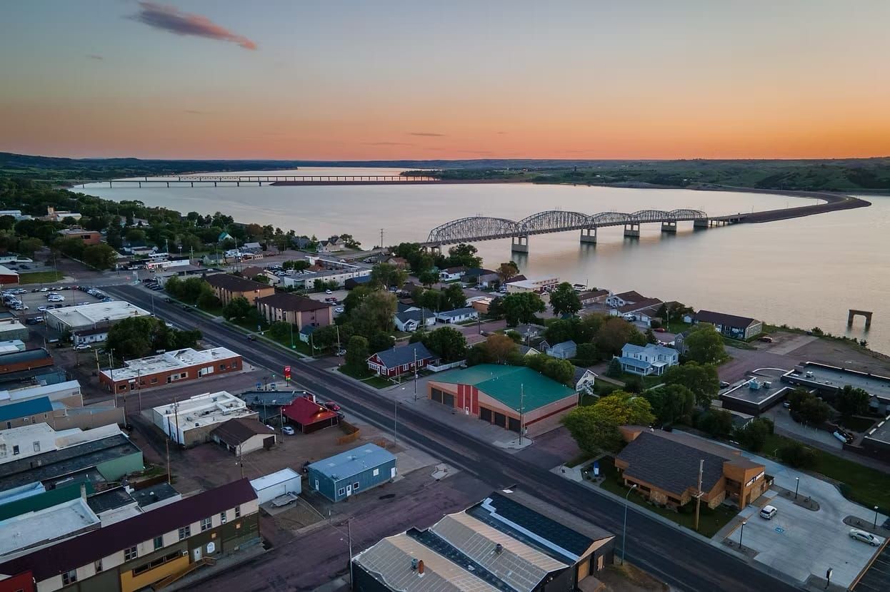
Legislation was considered to split Dakota Territory east-west at the Missouri River instead of the current north-south split that was approved in 1889.
A retrospective released by the state of South Dakota on the 125th anniversary of statehood noted that the east-west proposal did have some support.
The East/West Dakota would have followed the Missouri River and aligned regions with similar geographic and cultural identities.
The north-south border decision was motivated partially by resentment between the northern and southern portions of Dakota Territory over the location of the state capital. In 1883, the territory's capital was moved from Yankton to Bismarck.
Other reasons cited included separate railroad systems, economic ties to major eastern cities (Sioux Falls and Fargo) and the growth of separate systems of public institutions.
This fact brief responds to conversations such as this one.
Sources
State of South Dakota, 125th anniversary story
BigThink.com, East and West Dakota? Here’s What Those States Would Look Like
Medium, A Tale of Two States
South Dakota News Watch partners with Gigafact to publish fact briefs that refute or confirm a claim with supporting information and additional evidence and context. Send questions or feedback to news@sdnewswatch.org. Submit a question for us to answer on the tipline.
South Dakota News Watch is an independent nonprofit. Read, donate and subscribe for free at sdnewswatch.org. Contact freelance reporter Michael Klinski: michael.klinski@sdnewswatch.org.